Maple Row Farm App
Solo-built iOS and Android app for a 200-acre farm, still in use ten years later
Role:
Designer, Developer (solo)
Timeline:
2 months, maintained for 10 seasons
Team:
Just me
Company:
Maple Row Farm
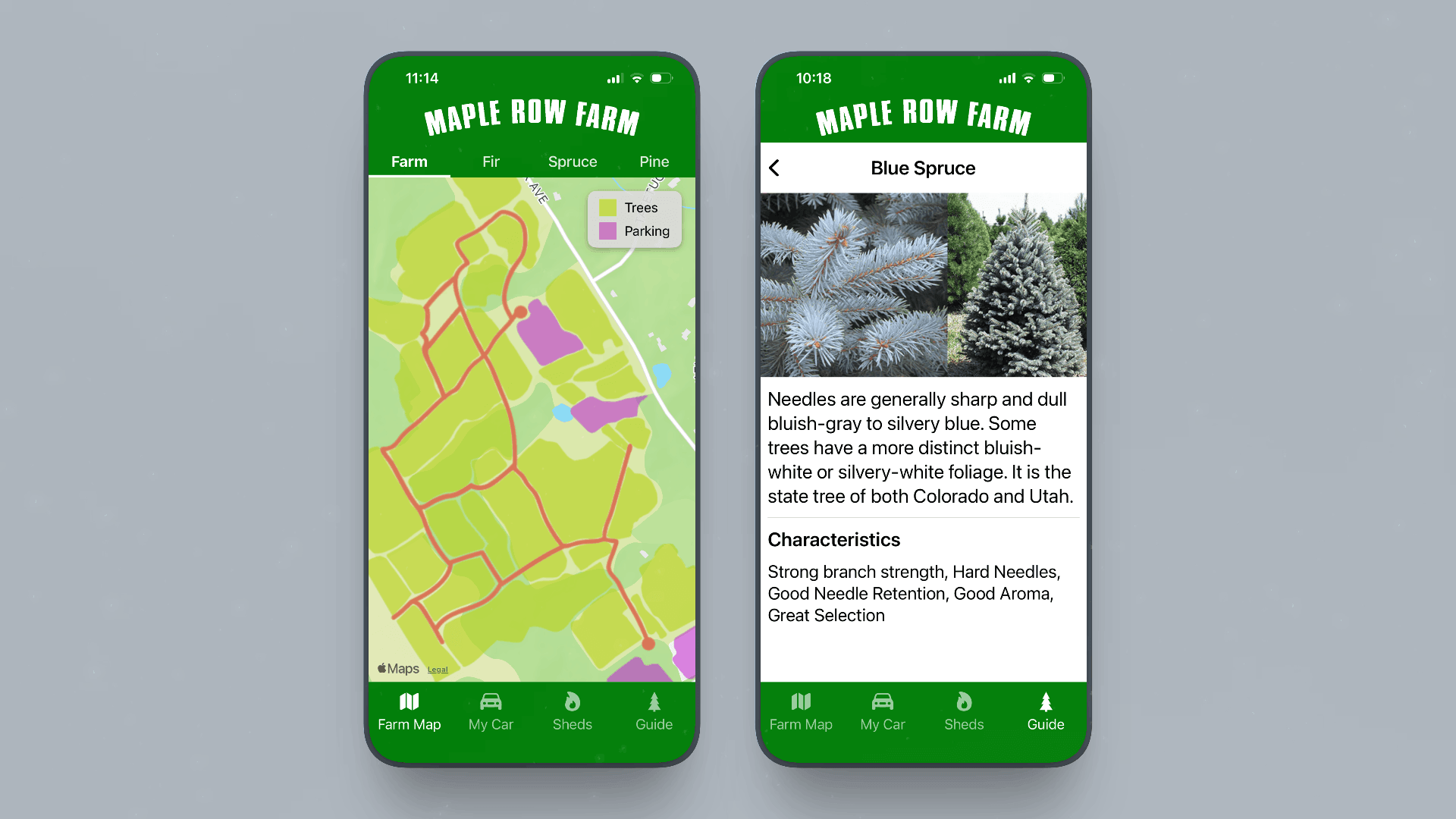
Left: the map view so you know where you are. Right: the tree guide so you know what you're looking at. Between them, they replace my brother
- 6,000+ downloads
- 5-star App Store rating
- 10 consecutive holiday seasons
- Built solo, shipped free
A native app, on iOS and Android, that replaced staff-as-navigation-system on a 200-acre Christmas tree farm. Research to release, all me, on land I grew up planting.
Context
Maple Row Farm is a family-owned Christmas tree farm in Connecticut, over 200 acres of cut-your-own trees, the largest operation of its kind in the state. Visitors arrive at one of three parking lots spread more than a mile apart, board hay wagons pulled by tractors to reach the fields, and spend hours navigating a living landscape of dozens of species across dozens of rolling fields.
This is not a client project. This is the farm where I grew up. I planted many of those fields. I worked there every scorching summer pruning trees and every freezing winter selling trees. My brother runs it now. The problem was one I had watched unfold for years, and the domain knowledge was entirely firsthand.
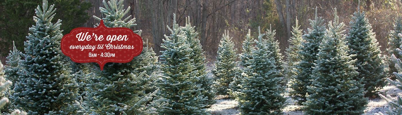
The graphic that kicks off the season every year. When this goes up, the fields are ready and the wagons are running
Constraints
Solo designer and developer, no handoff, no team, no budget. Free app with no revenue model, deployed once a year during a single high-stakes window: the holiday season. It had to perform reliably outdoors in freezing temperatures, on cellular data, for users of all ages and technical comfort levels. Success would be measured in App Store rating, downloads relative to annual farm visitors, and a reduction in staff fielding the same orientation questions over and over.
Navigating the farm
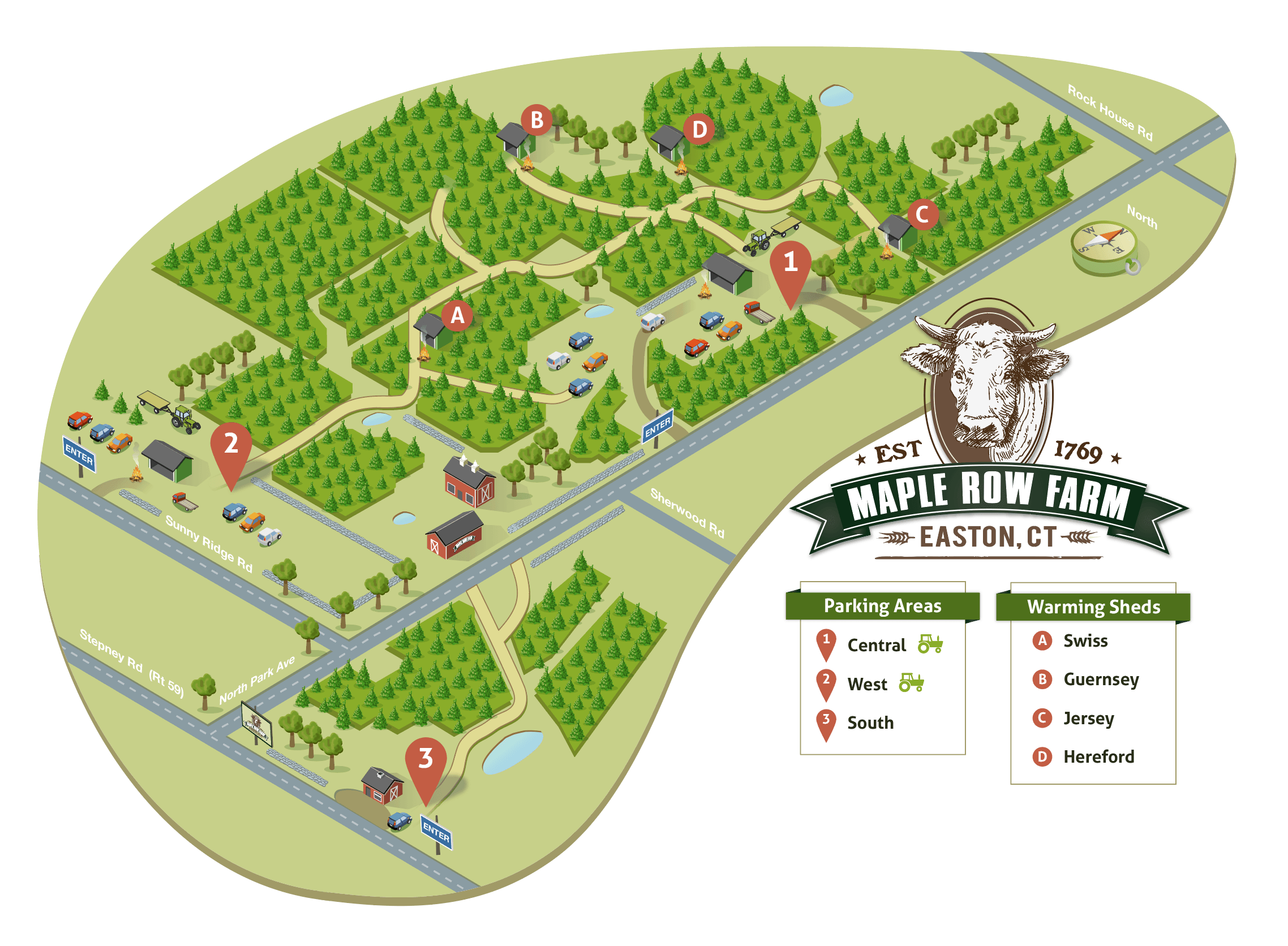
I made this custom isometric map of all 200 acres, printed and posted at parking lots, wagon stops, and field checkpoints throughout the farm
Every family that arrived at Maple Row started their visit the same way. Before boarding a hay wagon, they asked a random staff member a version of the same questions: "Where are the Fraser firs?" or "Where are the Blue Spruce?" or "Where are the Concolor firs?"
The farm is too large to orient yourself without help. You could ride a wagon fifteen minutes deep into the fields, cut your tree, and have no reliable sense of where you came from, where your car was, or which route would get you back to it. Species identification made it worse: even experienced visitors in a labeled field often could not tell a Concolor fir from a Fraser fir by looking at it.
The farm's staff had become a human navigation and identification system. Every question they fielded was a gap the environment was failing to fill. The app's job was to close those gaps: orientation, navigation, species discovery, and identification.
Discovery
I did not need to schedule a research session. I just needed to show up for work.
My brothers have given the same directions so many times they're like muscle memory: "Take the wagon to the second stop, walk toward the stone wall, over the hill and you'll see them." That's not a navigation system. That is institutional knowledge trapped in my brother's head.
Staff fielded the same three questions in rotation, all day, every season: where are the Fraser firs, where did I park, and is this the right tree. My mom put it plainly: "People just need to know where they are." She was right.
Strategy
Every feature had to map directly to a documented friction point. Nothing decorative, nothing aspirational, nothing requiring large data connectivity beyond the initial map tile load.
Distribution was equally deliberate: the app had to be free, and we posted QR codes throughout the farm, at parking lots, wagon pickup points, and the entrance. No App Store search required. No friction between problem and solution.
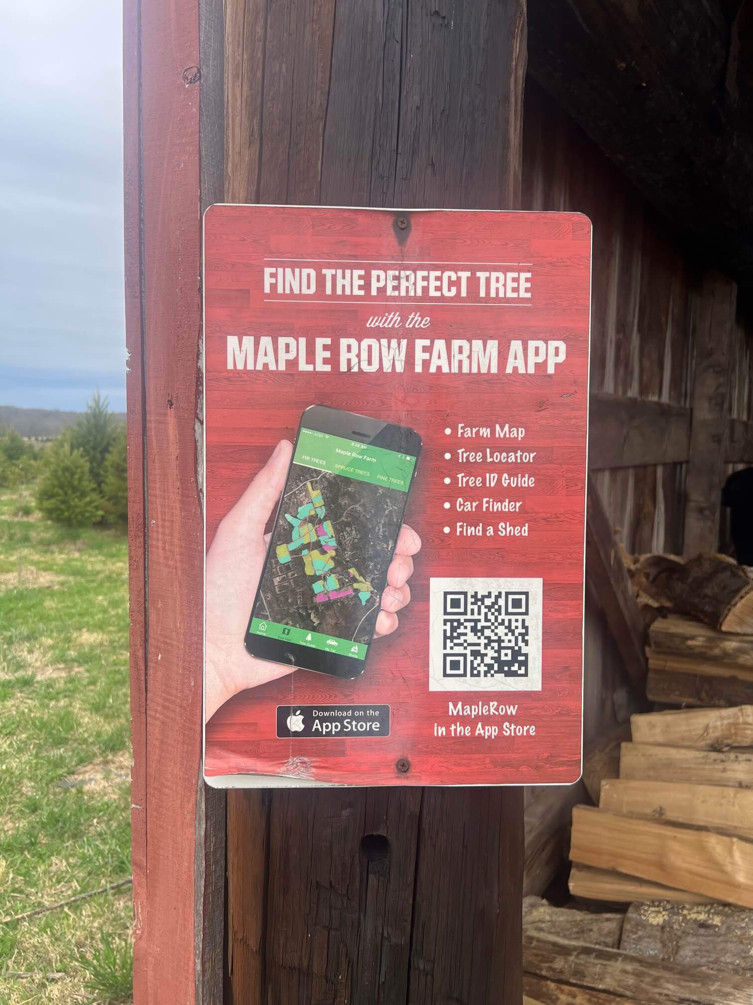
QR codes are posted around the farm
Execution
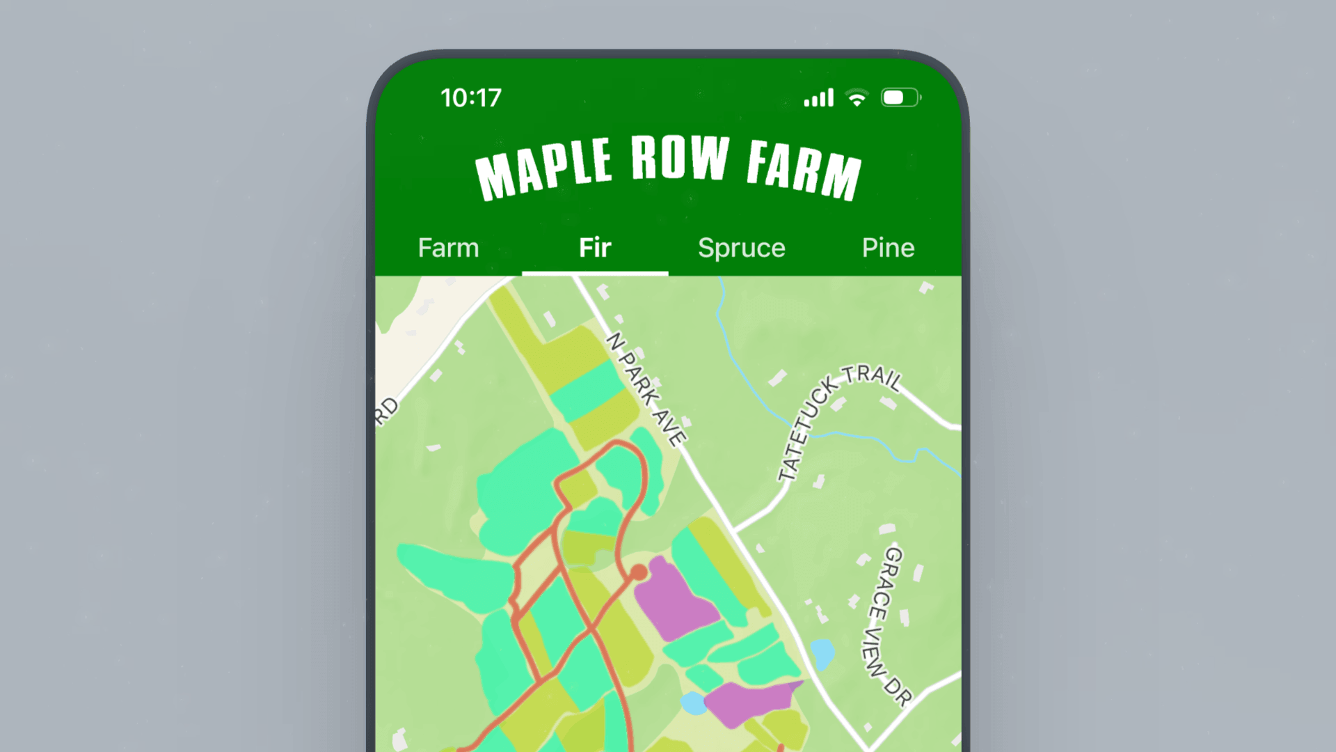
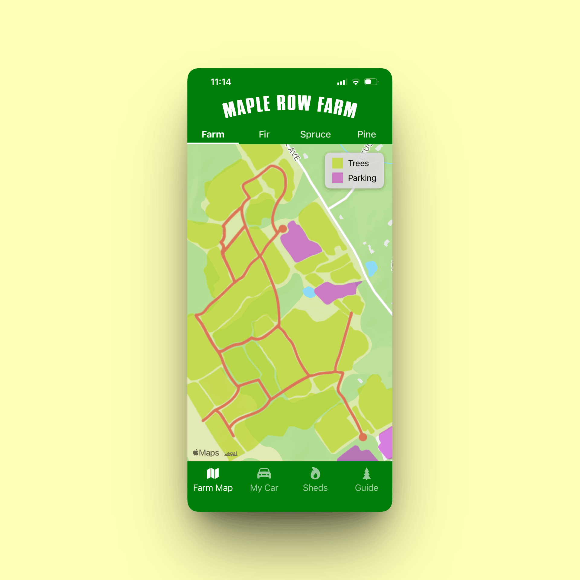
Map view with species tab filtering; toggled species appear highlighted while unselected fields recede. Purple areas indicate parking lots for drop-off, retrieval and cocoa
The core experience is a custom vector map hand-drawn in Illustrator and georeferenced over Apple Maps, with field boundaries, paths, and landmarks overlaid with precision. Five tabs let visitors focus on exactly what they need: toggle any tree species to see which fields contain it, a live GPS position dot across 200 acres, a parking pin to drop before boarding the wagon, warming shed locations for cold days, and a species photo guide with a close-up branch showing the needles for each variety.
The species guide is the feature that surprises people. It collapses two questions into one: "Where are the Concolor firs?" and "Wait, is this a Concolor fir?" That second question was invisible until you thought about what actually happened in the field.
The map went through several drafts. The first was too literal, and became unreadable at any useful zoom level. I pulled back to field-level shapes with just enough landmark detail to orient without overwhelming, then georeferenced it over Apple Maps so the GPS dot could orient you. The native Swift decision was simple: I needed GPS to work in a field in December with a weak signal and a cold battery. A web wrapper was not a gamble I was willing to take. The same logic drove the Android version, now live on Google Play: same map, same species guide, ten seasons of iOS lessons baked in from day one.
A quick demo of field highlighting, so you always know exactly where your fav species are hiding.
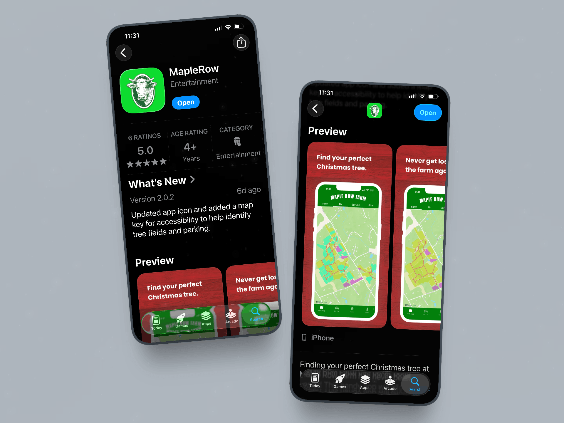
App Store listing for Maple Row Farm, reflecting a handy app that's still going strong after ten consecutive holiday seasons
Outcomes
Maple Row sees roughly 10,000 to 15,000 visitors per season, and more than 6,000 of them have downloaded the app with zero paid acquisition: just a QR code on a sign in a parking lot. That is 4 to 6% of every person who set foot on the farm in a decade, and since families download one app per household, the real adoption rate runs higher.
The staff impact is harder to quantify precisely, but it is not invisible. The same questions that used to stop every orientation conversation now have a self-serve answer. Staff have noticed. My brother has noticed.
- 6,000+ downloads over ten years, from the visitor base of a single farm in Connecticut
- 5-star rating on the App Store, sustained across a decade
- Free, continuously maintained through ten consecutive holiday seasons with no commercial model
- Zero paid acquisition: downloads driven almost entirely by physical QR code signage on the farm
- 320 new downloads in 2025. The overwhelming majority of each year's downloads land inside the six-week season, which is exactly the shape a tool built for one job should have
- Android version launched in 2026, opening the app to the roughly half of visitors it could never reach before
The app has outlived every framework trend, every iOS design language shift, and every "is native dead?" argument made in the past decade. It still works. It still gets downloaded. It still gets five stars. It just solves the right problem.
Future update
The species photo guide answers "what does a Concolor fir look like." It does not answer "is this tree in front of me a Concolor fir." Two different problems.
The next feature closes that gap: point your phone at a branch, get an answer. Basically Not Hot Dog for Christmas trees. The models exist. The training data does not. Generic plant identifiers fall apart on conifers, where the difference between a Concolor and a Fraser lives in needle length, color, and how the needles are grouped.
So we've strated building the dataset ourselves. Every species on the farm, photographed at diffrent angles and lighting conditions: needle close-ups, branch structure, all labeled by a few people who have been telling these trees apart their whole lives. It is slow, unglamorous data work. It is also an exciting feature that doesn't exist anywhere else.
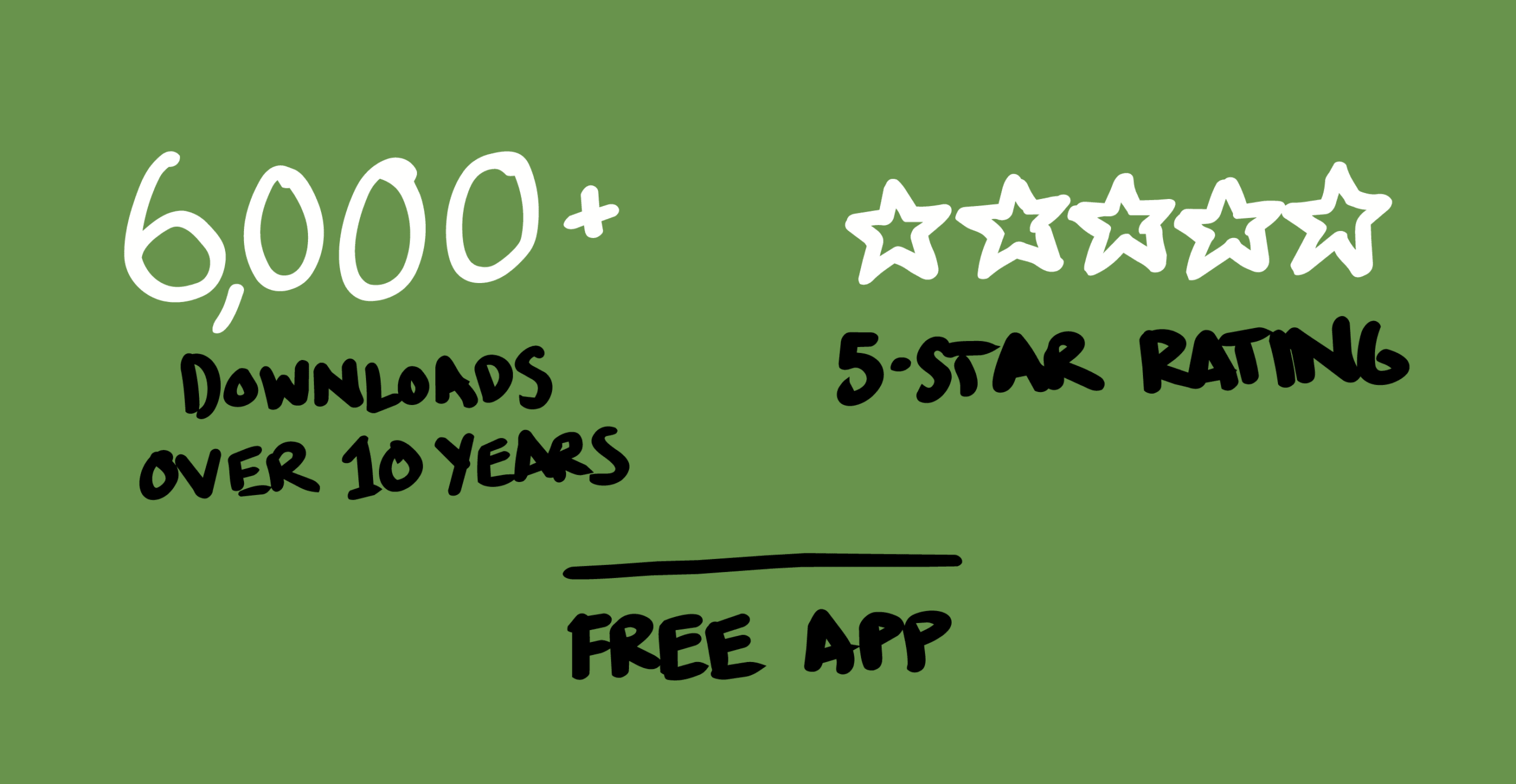
6,000 downloads means 6,000 times someone scanned a QR code, trusted the app, and spent their afternoon happily finding the perfect tree
Selected Works
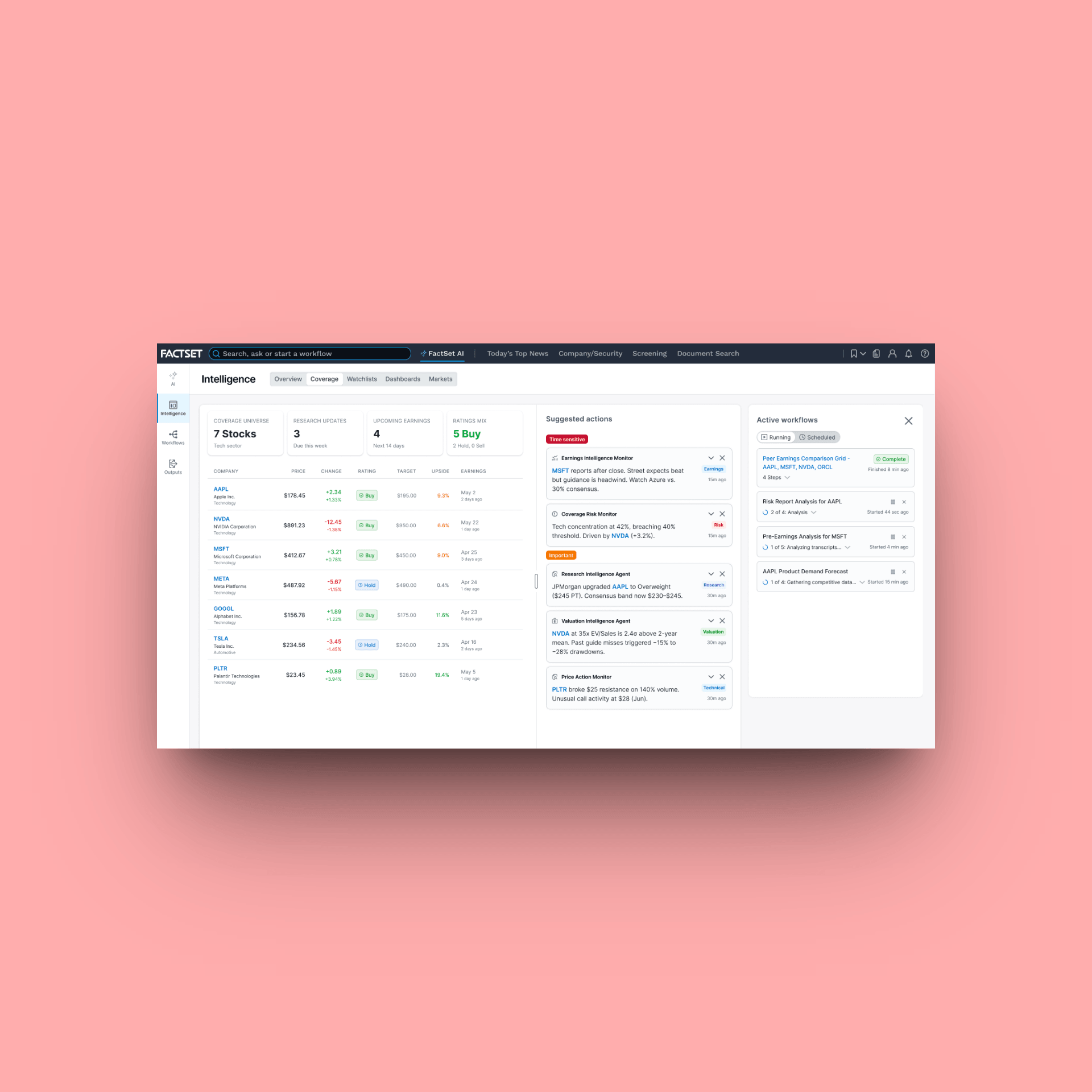
FactSet Agentic PlatformProject type
FactSet MobileProject type
FactSet PlatformProject type
Maple Row Farm AppProject type
FactSet OnboardingProject type